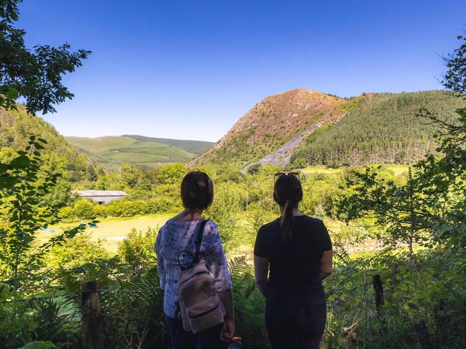
Situated between the towns of Machynlleth and Dolgellau, Dyfi Forest lies in the shadow of Cadair Idris in Eryri National Park.
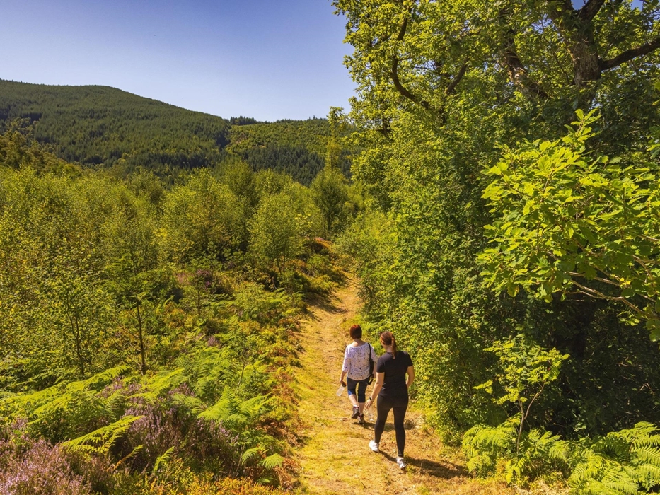
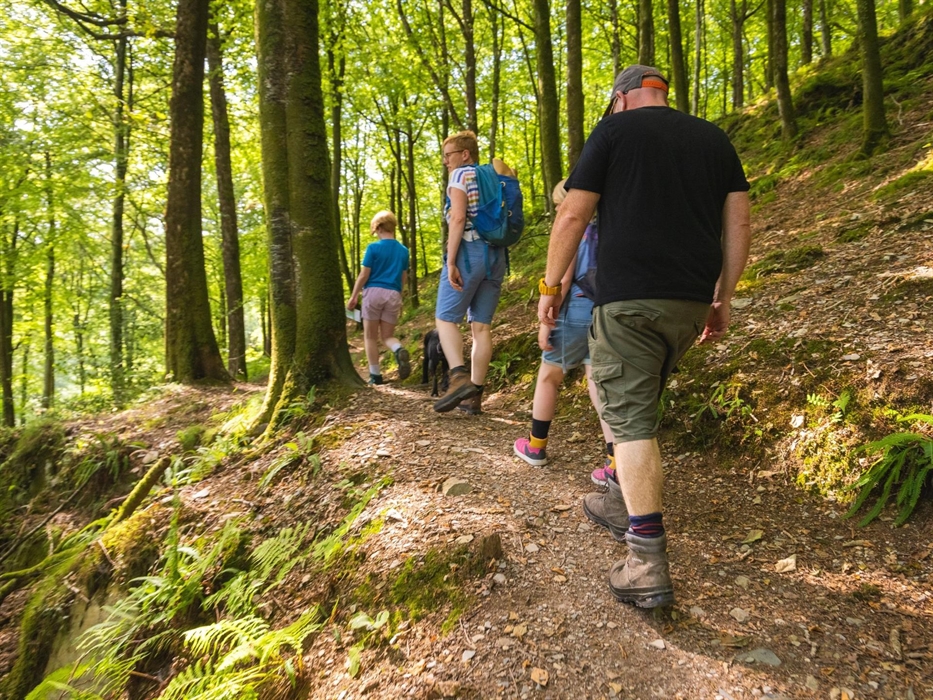
It is a huge forest with rugged peaks, forested hillsides, rivers and the remains of old slate mines.
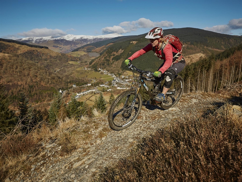
There are waymarked walking trails from several car parks in the forest, and a red-graded mountain bike trail for experienced riders.
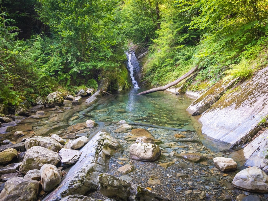
Tan y Coed is an easy-to-find picnic site on the A487 with woodland walking trails to a waterfall.
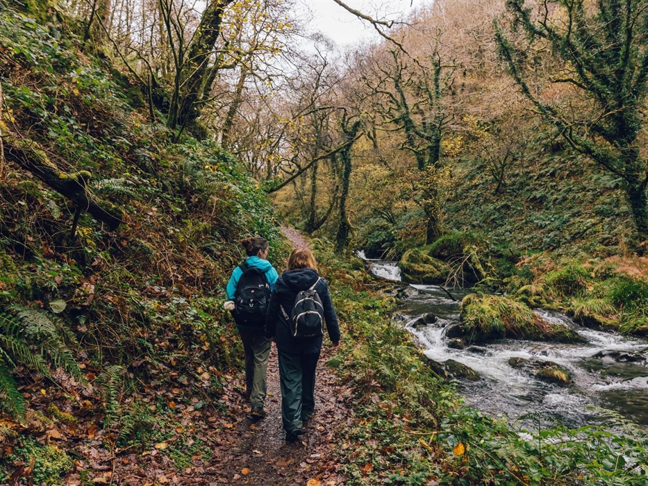
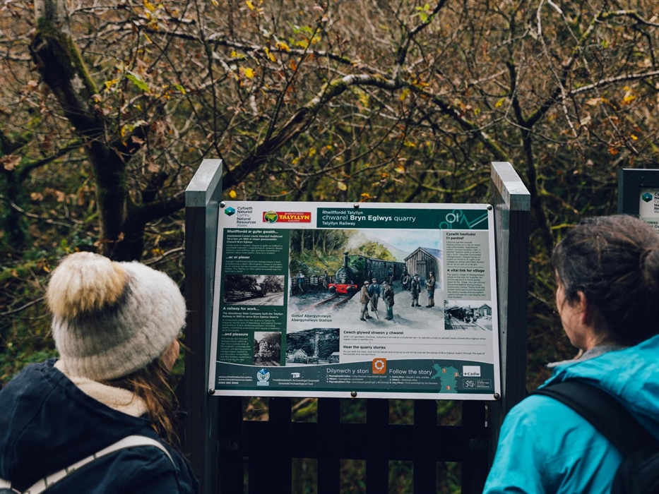
Coed Nant Gwernol is a woodland on the edge of Abergynolwyn. There is a choice of walking trails alongside the rocky river gorge and through the remains of a slate quarry.
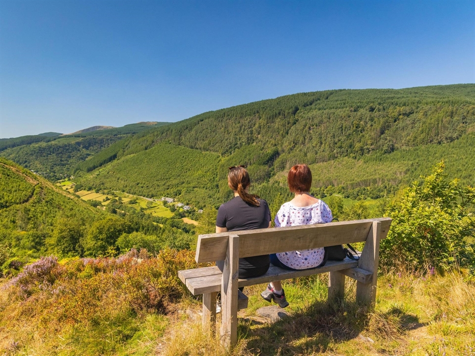
Foel Friog is a riverside picnic site near Corris with a steep walk, rewarded by superb views.
The ClimachX red-graded mountain bike trail is situated near the village of Ceinws
FOR MORE INFORMATION
Please read the information panel at the start of the trails to make sure you pick a trail that’s right for you.
This site is managed by Natural Resources Wales.
For full details about the visitor facilities (including any temporary changes or closures) please go to the Natural Resources Wales website.