The Welsh Three Peaks Challenge typically comprises three of the highest and most iconic mountains in Cymru:
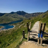
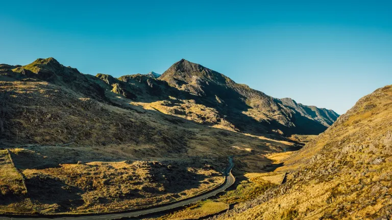
- Yr Wyddfa: Cymru’s tallest peak and the highest point in Britain outside the Scottish Highlands.
- Cader Idris: A spectacular peak at the southerly edge of Eryri (Snowdonia) National Park.
- Pen y Fan: The highest peak in the Bannau Brycheiniog (Brecon Beacons) National Park in Mid Wales.
The Three Peaks Challenge is a demanding challenge and requires a good level of fitness. Planning and preparation are vital. Most people take on the challenge through an organised group, and many Welsh charities run their own Three Peaks fundraising challenges, which generally include guides and transport.
Your reward? Some of the most spectacular mountain scenery in the world, and an unrivalled day of discovery, adventure, and achievement. In general, most groups complete the route from north to south, but it can be done in reverse – although that means finishing with the toughest climb, Yr Wyddfa.
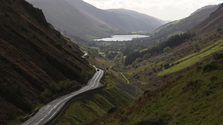
Either way, you’ll be using The Cambrian Way to travel around 135 miles, a complete north-south road route along the mountainous spine of Cymru, taking in dazzlingly beautiful vistas, market towns, forests, lakes, and reservoirs – as well as the old slate and coal-mining heartlands.
Some advice before you set out
If you are taking on the challenge as an individual group, it’s recommended to have at least one designated driver who isn’t taking part in the walking challenge and can take extra rest breaks. It’s also advisable to have a few hill-based practice walks before setting off on the challenge, as well as some general fitness training.
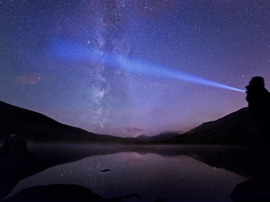
The Eryri and Bannau Brycheiniog National Park websites have their own safety sections which all include essential tips on equipment, clothing, fitness and timings for the specific mountain areas. AdventureSmart UK also has plenty of advice on how to ‘make a good day better’, and we recommend you read it before planning your day out.
Please be respectful and follow the Countryside Code and if you bring dogs with you, the Dog Walking Code.
Where to stay for the Three Peaks Challenge
You’ll want to get started early, so it’s a good idea to book accommodation near Eryri National Park for the night before you set out. Be sure to eat a good meal and say ‘nos da’ (‘good night’) as early as possible, ready for a dawn start to your Welsh mountain adventure.
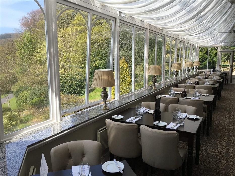
YHA Snowdon Pen-y-Pass Youth Hostel has been a popular choice for adventurous climbers since the Victorian era. If you fancy a bit of traditional luxury instead, try the recently refurbished Royal Victoria Hotel situated opposite the Llanberis path. You could even stock up on delicious Welsh produce and snacks for the journey between mountains at Iechyd Da Deli, an independent, family-run delicatessen in the picturesque village of Betws-y-Coed the day before.
You can use our accommodation search to find a place to stay nearby.
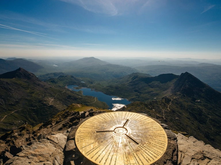
Height: 1,085 metres
Walk time: Approx. 4-5 hours
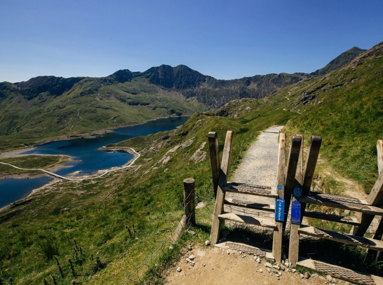
Route: Ascent via the Pyg Track; descent via the Llanberis Path.
Drive from Yr Wyddfa to Cader Idris: Approx 1.5 hours
Aim to start around 6am and with luck you'll be rewarded with the perfect Instagram moment: sunrise as you set off. The Pyg Track will certainly wake you up as it gains height rapidly, so tread carefully on the steep, rocky path. On a clear day enjoy the 360-degree views of the ridges and lakes of Eryri National Park which stretch out in every direction. If it’s clear at the top, you can see all the way to Ireland. The Llanberis Path is a relatively smoother hike downhill.
Height: 893 metres
Walk time: Approx. 5 hours
Route: Minffordd Path
Drive from Cader Idris to Pen y Fan: Approx 2 hours 20 minutes
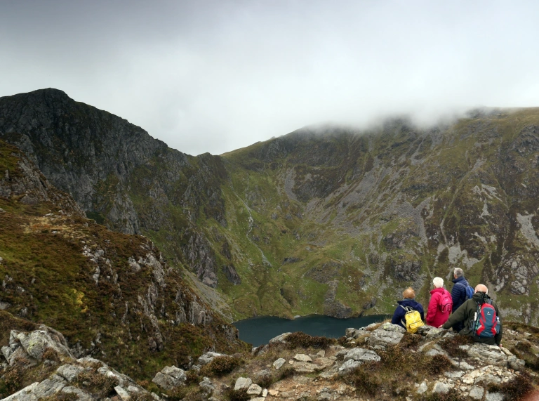
Expect another steep start as you climb up the many steps at the beginning of the route. Thankfully, the path eases off a bit before the final scramble to the trig point. You'll get your Instagram moment overlooking Llyn Cau, a huge, dramatic glacial lake in the crater of Cader Idris, set beneath 400m-high mountain walls.
Height: 886 metres
Walk time: Approx. 3 hours
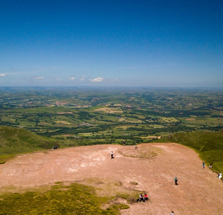
Route: Start at the Storey Arms Centre and follow the Pen y Fan and Corn Du circular walk to Pont ar Daf car park.
Drive from Cader Idris to Pen y Fan: Approx 2 hours 20 minutes
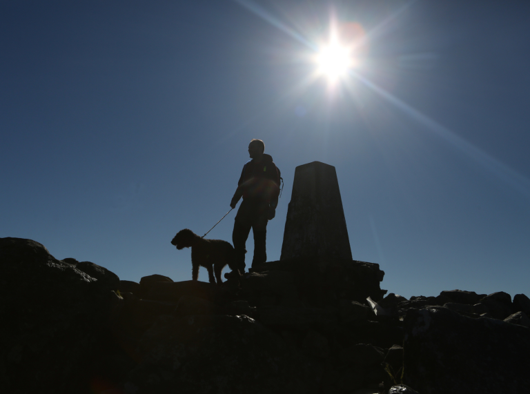
On a clear day you'll be rewarded with wide-ranging views over South Wales as you head up the steep path. Instagram moment: A team photo at the top with the Pen y Fan National Trust sign – you did it!
And to celebrate? Try the Three Horseshoes near Aberhonddu (Brecon), an award-winning village pub and restaurant known locally as the Groesffordd where you can get the hearty Welsh meal and cold drinks you truly deserve.
Be safe!
Exploring the outdoors is fantastic fun, but please read up on the risks and make sure you are prepared.
- Find safety advice for exploring Cymru's National Parks and safety tips for staying safe on the Welsh coast.
- Visit AdventureSmart.uk for information on how to stay safe whilst exploring Cymru.
Help Cymru become the first Refill Nation by using nearby Refill Points to fill up your water bottle before you head off. Find out more including how to download the Refill Wales app to find your nearest Refill Point on the Refill Return website.
Frequently asked questions about the Welsh Three Peaks Challenge