Discover the must-see TV and film locations in Wales
Discover some of the places in Wales that have featured on the big and small screen.
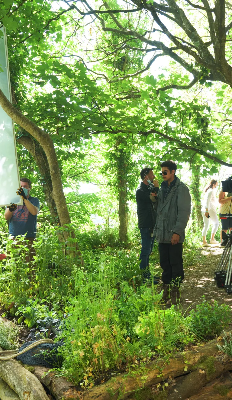
© Bad Wolf Productions/HBO/BBC

Celebrating Richard Burton in Neath Port Talbot
Discover walking trails celebrating the iconic Welsh actor Richard Burton.
Topics:

Follow the TARDIS to top Doctor Who locations
Discover the locations behind the TV series with this handy guide to Doctor Who locations in Wales

Gavin and Stacey: a filming locations guide
Explore the filming locations around Wales used in the hit BBC comedy series, Gavin and Stacey.

Where Netflix's series Sex Education is filmed in Wales
Find out about the beautiful South Wales locations you can see in the Netflix series Sex Education.

Searching for Willow in Wales
Discover the epic Welsh filming locations behind Lucasfilm's series Willow.

Fired up! TV show inspired adventures and activities
Inspired by I'm A Celebrity... Get Me Out Of Here! and The Apprentice? Plan your trip to Wales.
Filming locations for A Discovery of Witches
A guide to the locations where A Discovery of Witches was filmed in Wales.

The Welsh dockyard that built a spaceship
The last ship to leave Pembroke Dock was almost certainly its most famous…